Product overview
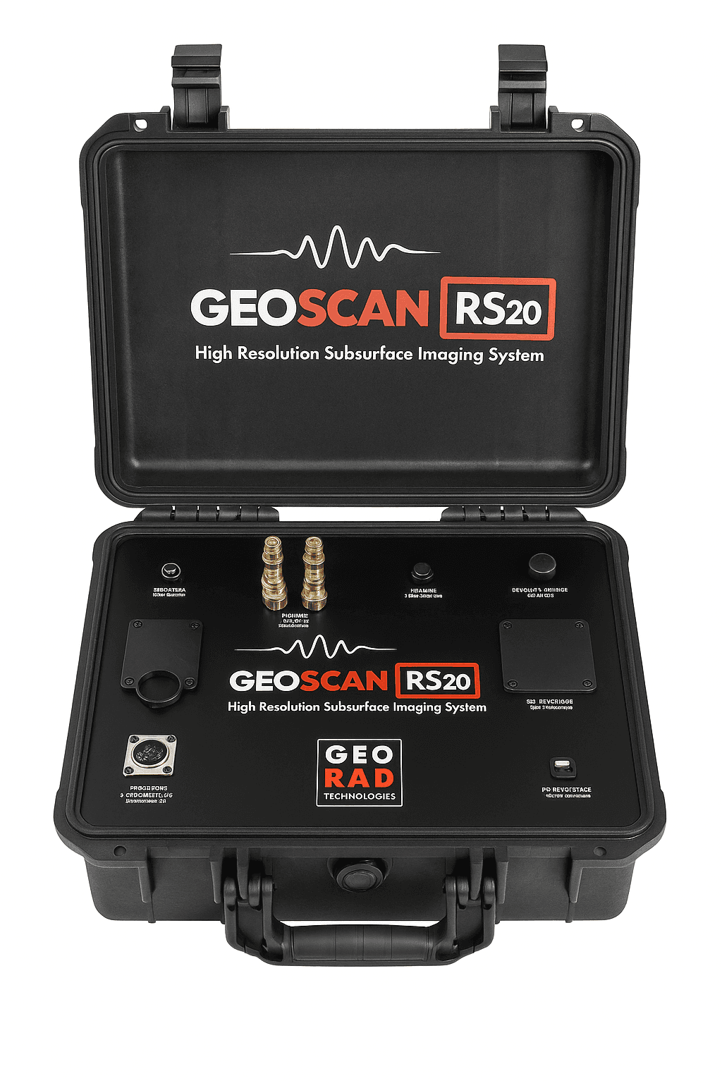
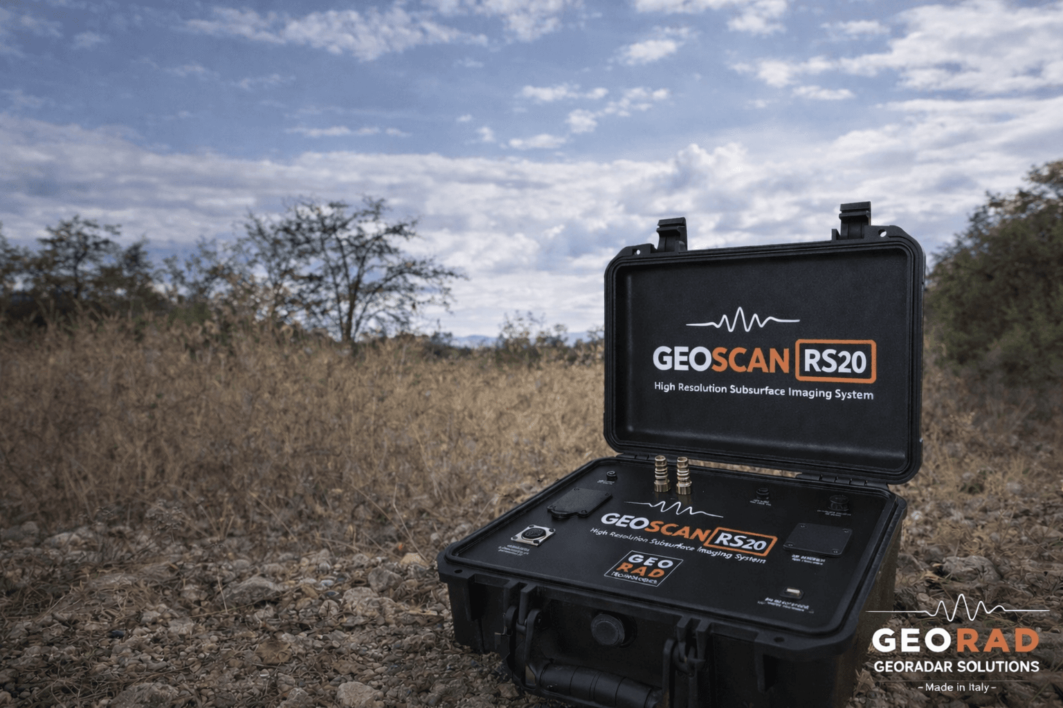
GEOSCAN RS-20 is an advanced direct current (DC) geophysical system for high-resolution subsurface mapping. Available in two configurations: Standard (up to 20 m) and DeepScan (up to 70 m). Designed to detect resistivity variations, it enables identification of cavities, tunnels, foundations and metallic objects.
Full control from notebook
USB interface for direct control
Pole-pole configuration
For deep investigations
18 active electrodes + 2 remote
Stainless steel
24-bit A/D conversion
High precision
Automatic contact test
With selectable test currents
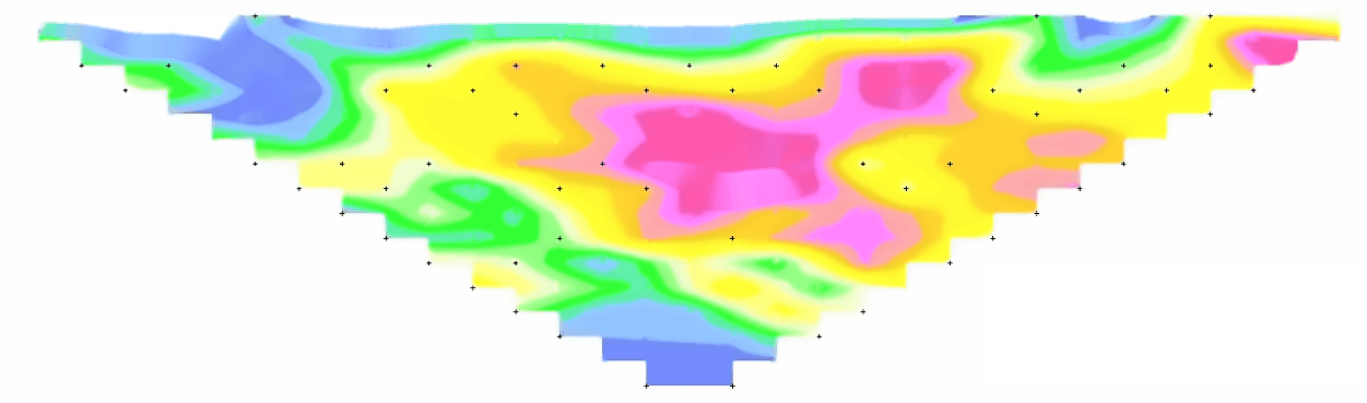
IP measurement
Induced Polarization
Metal detection
And conductive anomalies
12V DC power
≥ 10 Ah battery
Technical specifications
Full details and technical characteristics of GEOSCAN RS-20
Antenna configuration
Direct current (DC) system
pole-pole for deep investigations
18 active + 2 remote passive
stainless steel
40-50 cm
6 mm
Performance
up to over 20 m
up to over 70 m
configurable for greater depths
maximum in homogeneous soils
in layered soils
Physical characteristics
12 V DC
≥ 10 Ah
compact structure
designed for demanding operating conditions
notebook control via USB
Data processing
high-precision 24 bit
MERS Windows compatible
full from notebook
electrode contact
square, adjustable 0.1-5 Hz
compatible with 2D/3D imaging software
Power system
12 V DC
≥ 10 Ah
optimized for prolonged operations
12 V DC
10 Ah
standard 12V automotive batteries
Image gallery
Accessories and equipment
Included accessories
Optional accessories
Ready for the Future with GEOSCAN RS-20?
Join professionals who chose GEORAD to take their work to the next level.